Practical Approaches to Geofencing and Dynamic Speed Rule Configuration
Rooted in the evolving landscape of intelligent transportation systems in the United States, ESMART has established a professional path defined by developing, refining, and promoting best practices for geofencing and the implementation of contextual speed rules. This work merges digital mapping, behavioral analytics, and adaptive speed intelligence into cohesive safety frameworks that support both drivers and fleet operators. With a focus on practical application and data-driven improvement, this journey reflects a dedication to designing mobility environments that respond dynamically to on-road risk while empowering organizations to operate with greater precision and responsibility.
Establishing Geofencing Systems That Reflect Environmental Realities
A significant part of this career has been devoted to transforming geofencing into a strategic resource that aligns with real-world driving conditions. Instead of relying on rigid, one-dimensional boundaries, the work emphasizes creating geofences informed by accident data, traffic flow, roadway architecture, and operational priorities. These digital zones are placed with purpose—highlighting regions where added caution, reduced speed, or restricted entry promotes safety and efficiency. Each geofence is designed through detailed analysis to enhance situational awareness and support informed decision-making.
Developing geofencing strategies also requires collaboration across multiple departments, including fleet management teams, mapping specialists, and safety coordinators. These partnerships help pinpoint sensitive areas, such as industrial loading zones, residential neighborhoods, collision-prone stretches, and locations with high operational complexity. By creating alerts that activate upon entering these zones, drivers receive clear reminders that help adjust behavior in real time, strengthening consistency and reducing avoidable incidents.
Another essential aspect of geofence development is consistent adaptation. As city infrastructure evolves and new risks emerge, geofences must remain flexible. This approach includes routinely reviewing system data, analyzing alert patterns, and gathering operator feedback to refine boundaries. Through ongoing optimization, geofences maintain relevance and accuracy as they evolve alongside the environments they are designed to protect.
Engineering Contextual Speed Rules That Adapt to Real-Time Conditions
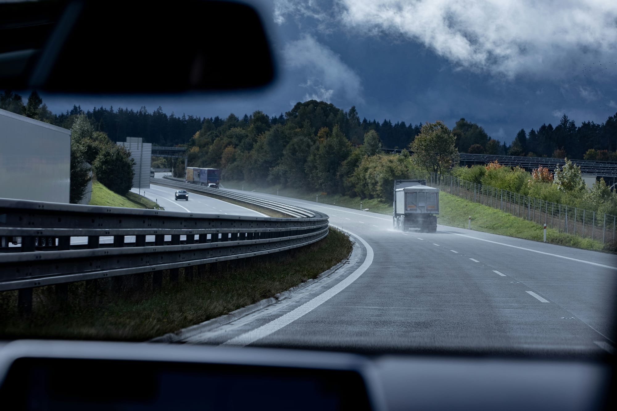
The creation of contextual speed rules has been another defining focus of this professional journey. Recognizing that static speed limits do not account for fluctuating road conditions, the work centers on developing intelligent speed guidance systems that adapt to environmental factors. Conditions such as rain, fog, heavy traffic, road surface quality, and visibility affect safe driving speeds, and contextual rules are designed to reflect these realities.
This process involves blending telematics data, weather inputs, road-type classifications, and operational risk metrics into a dynamic rule engine. These adaptive systems provide drivers with timely cues that encourage speed adjustments before conditions escalate to a risk level. By guiding rather than enforcing, contextual speed rules support safer driving behavior while maintaining operational fluidity.
Compliance alignment is also a key consideration in developing these systems. Each rule framework is carefully structured to comply with legal requirements and avoid conflicts between local regulations and fleet-wide policies. The result is a safer, more consistent driving experience that supports both regulatory expectations and organizational standards. By ensuring that speed guidance remains reliable and fair, drivers gain confidence and clarity on the road.
Leveraging Analytics to Strengthen Predictive and Preventive Safety Measures
Data-driven decision-making underpins every advancement in geofencing and speed rule development. Years of analyzing telematics reports, GPS traces, driving event frequencies, and operational performance metrics enable a deeper understanding of risk patterns. These insights drive the placement of geofences, the calibration of speed rules, and the broader design of safety strategies that reflect real operational challenges.
This experience includes using AI-enhanced data platforms that highlight subtle trends, such as repeated harsh braking events, inefficient routes, or environmental hazards that frequently trigger alerts. By interpreting these patterns, organizations gain clues on where to adjust rules or reinforce training. Data-driven strategies ensure every improvement is grounded in evidence rather than assumptions, creating more reliable safety systems.
External data integration further enhances the effectiveness of safety rules. Incorporating weather updates, construction alerts, traffic feeds, and road-closure notifications allows contextual speed rules and geofence alerts to adjust automatically as conditions evolve. By merging internal telematics with environmental intelligence, fleets gain predictive capabilities that mitigate risk before incidents occur and maximize overall operational resilience.
Championing Driver-Centered, Ethical, and Transparent System Deployment
Successful implementation of advanced safety systems requires more than technology—it demands trust, clarity, and fairness. This belief has been central to this career, shaping initiatives focused on educating drivers and ensuring systems are deployed with transparent intent. Training programs, orientation sessions, and support materials are developed to help drivers understand how geofencing and contextual speed rules work and why they exist. This clarity reduces confusion, builds confidence, and strengthens long-term engagement with digital tools.
Policy development plays a critical role in shaping ethical adoption practices. Guidelines created with organizational leaders emphasize consistency, fairness, and explicit communication. Drivers must know that safety systems are tools designed to protect them—not means of punishment or excessive monitoring. Through collaboration, feedback sessions, and open dialogue, deployment strategies become more inclusive and aligned with genuine daily challenges.
By maintaining a driver-first approach, this work ensures technology enhances—not replaces—human judgment. The result is smoother system adoption, stronger compliance rates, and an overall improvement in safety culture across fleets.
Driving Continuous Innovation to Shape the Future of Fleet Safety
Innovation continues to influence every aspect of this work, as emerging technologies unlock new opportunities for improving geofencing and contextual speed rule systems. Advancements in machine learning, automated map updates, sensor integration, and vehicle-to-infrastructure communication provide a foundation for even more sophisticated safety tools. Leveraging these innovations helps create systems that operate faster, adapt more precisely, and respond intelligently to a variety of road conditions.
This forward-thinking mindset supports the development of scalable frameworks that can evolve with organizational growth. Whether a fleet expands into new regions or adopts new service models, the safety systems created are designed to accommodate these changes without disruption. The commitment to scalability ensures long-term value and sustained performance across diverse operational environments.
Through dedication to innovation, responsible strategy, and a deep understanding of mobile ecosystems, this career reflects a lasting commitment to shaping transportation systems that prioritize safety and reliability. By advancing best practices in geofencing and contextual speed rule design, the work contributes to a brighter, more adaptive future for fleets, drivers, and the communities they serve.